Tuesday, 8 September 2009
Road Trip Day 20
I knew I was in for a long drive today so after a good night's sleep and croissants for breakfast I hit the road. I always try to avoid retracing my steps so I ignored the Sat-Nav's preferred route which would have taken me back down Interstate 5 and instead stayed on the Canadian side of the border on their Highway 1 then 3. This route took me through some more spectacular mountain terrain as I crossed back over the Cascade Mountain range.

Furthest North
It wasn't a very direct journey as its route is dictated by where the gaps in the mountains are. At one point I was heading almost due North, reaching what I believe will be my most northerly point at Princeton, British Columbia.
The air up here was so clear and so pure and as the sun beat down it was very easy to see why there is a thriving little town in such a remote spot. It's also easy to dream about staying there and ignoring the lack of facilities and huge distances you need to go to reach anywhere.

I shook the day-dream off and climbed back in the car.
Hope Slide
Today was a day to cover miles but I did get one interesting stop. The Hope Slide is a huge landslide which occurred in 1965, wiping out 2 miles of highway and taking 3 lives There's a viewpoint, information board and plaque at the base of the huge scar in the mountain.

Strangely there has since been not one, but two fatal air crashes on the same mountain. That's a pretty unlucky piece of terrain really.
My only other stop was at EC Manning State Park where I had a drink and ate one of the cup cakes I'd liberated from the breakfast room in Vancouver. Only a flying visit, but a chance to take a nice shot of the scenery with the Canadian flag flying

Over the Border
As I approached the border with the USA, my sat-nav decided to have a little joke with me, by sending me down a tiny back road rather than staying on the highway and crossing over at the main crossing.
I'm glad I went the obscure way though. The border guard was friendly and we chatted a while about where I'd been and what I am planning. I got the feeling I was one of their few customers that day. It also meant that I could see the border fence running straight as a die up the hillside.
Omak (Pop'n: 4,721)
Tonight I'm in an anonymous looking motel in the little, but growing town of Omak, WA. I'm off the highway though and didn't fancy driving back onto it just to eat at a boring chain restaurant so I wandered around the main street and found a nice little bistro where I had a reasonable, but unremarkable steak.
Half-way Through
The only other thing I'd like to mention is that today marks the half-way point in my visit. I counted the days and if you include the day I landed and the day I fly, I'll be here for 92 days.
I've seen a lot so far. I've still got much to see.
Goodnight.
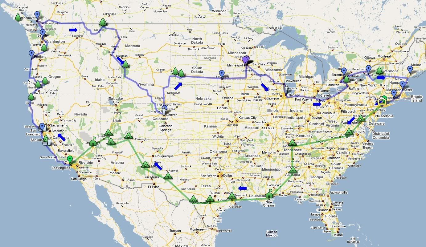
View Driving Day 20 in a larger map
Stats - Day Forty-Six
Distance travelled - 289 miles - Vancouver, B.C., Canada to Omak, WA, USA
State entered - returned to Washington
State count - 18 + DC + B.C.
Room numbers stayed in - 203, 1, 148, 212, 205, 210, 246, 118, 3, 145, 229, 111, 207, 206, 40
No comments:
Post a Comment