Friday, 18 September 2009
Road Trip Day 30
Well, I have generally been able to avoid long drives with little or no stops of note, but today I had a lot of ground to cover so that meant it had to be done. I'd only just turned out of the motel car park when my sat nav told me to Proceed Ninety Nine Miles. I took a deep breath and it went by painlessly. I made the next turn and the next thing it said was Proceed Two Hundred And Seven Miles. I let out a little sigh.
No Place To Stay
I decided not to book ahead but to wing it again regarding where I would stay tonight, but planned my route to go through towns with plenty of accommodation. That way, if the driving got to be too much I could stop and stay on the way.
As it turned out, by taking it easy, using Highways and Interstates rather than more direct, but slower, twistier roads I felt OK all the way to Estes Park, right here on the edge of Rocky Mountain National Park.
The downside of this of course is that there wasn't a great deal to see on the way. Not that Wyoming isn't pretty, but a lot of my journey was through some relatively featureless plains.
One Stop
I did have one recommended destination to see though. My guidebook said that Wyoming Highway 210, named "Happy Jack Road" was a good route to take from Laramie to Cheyenne due to the odd shaped boulders that are scattered over the landscape.
Now, I'm no Geologist, but... hold on, yes I am. As a Geologist, I would say these are Erratics, left from a period of glaciation. These boulders were plucked from mountain sides and valley floors by the glacier and then dumped on the surface when the ice melted.

Turbine Power


I'd seen a huge wind farm from the Interstate but there wasn't a convenient place to stop and look. Luckily, there was another, smaller farm towards the end of Happy Jack Road so here's a close up view of one of these big ole' windmills.
State Number 22
The other noteworthy event was arriving in Colorado, the 22nd state of my trip. I had passed the convenient turn-out which would have allowed me to stop and take a photo of the Colorado sign. A bit annoying really as they have gone to the effort of building a slip-road so you can take a photo, but not put a sign up to tell you it's there. So, here's my best attempt through the windshield at 65 mph (Yes, I was being careful!). Sorry about the insect splats. There was a whole days worth of kills on the windshield.
New Thing
Here's a new thing which I should have known was out there on the web and could have been doing all along. A clever little application that you can use to make a map of the states you have visited.
22 states (44%)
I've no idea how my 22 states compares to the average American citizen, but I wouldn't be surprised if it is above that average.
Food Note
By the way, and I know you were wondering, I have decided to drop the Pizza and Burger counts that I had running. Basically I have forgotten a few meals and the count would be wrong... though I will admit that I had a MacDonald's Third Pounder for lunch and a pepperoni and meatball pizza for dinner today so add one to each of whatever the totals would have been.
Goodnight.
Stats - Day Fifty-Six
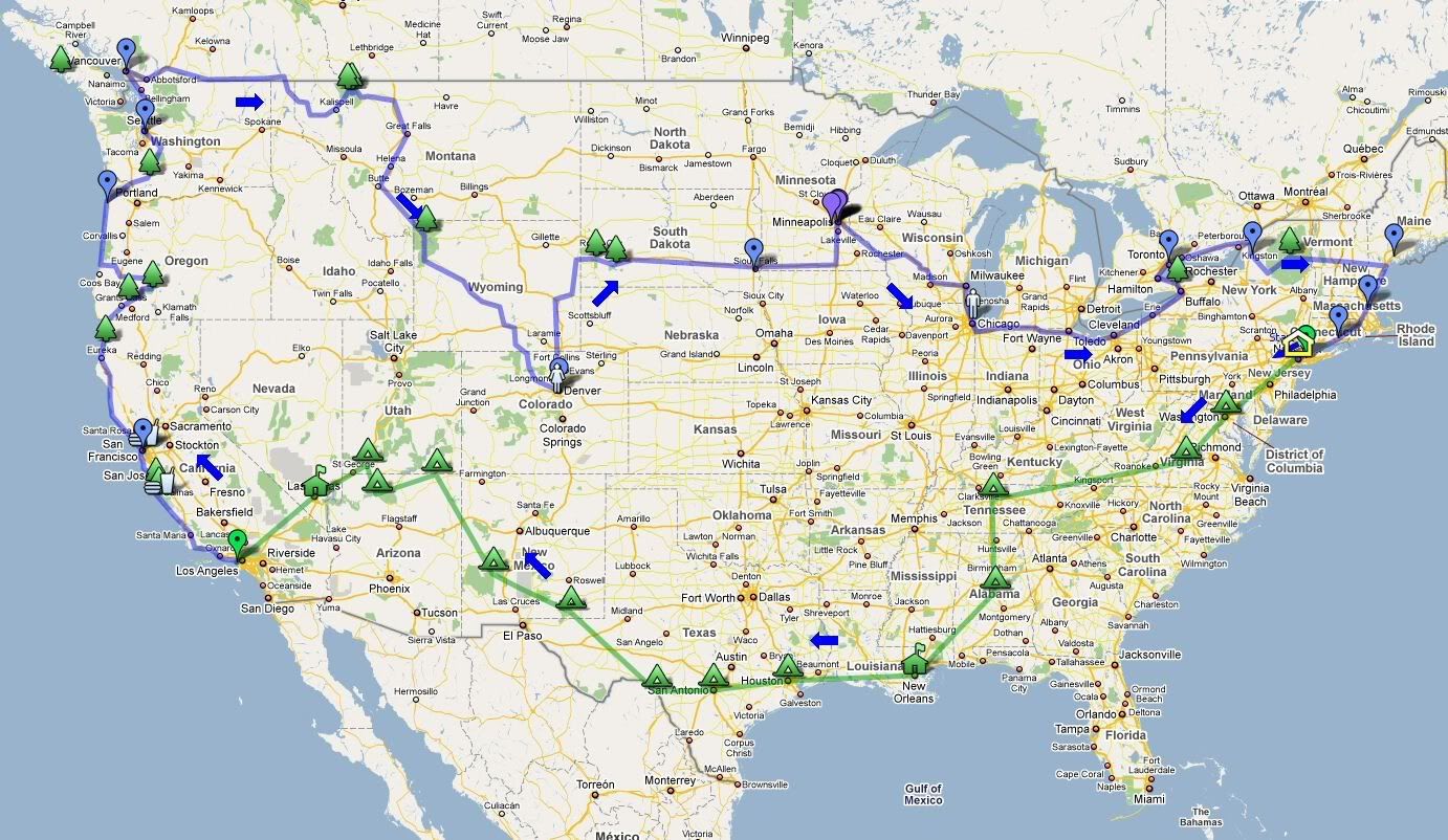
Distance travelled - 439 miles - Pinedale, WY to Estes Park, CO
State entered - Colorado
State count - 22 + DC + B.C.
Room numbers stayed in - 203, 1, 148, 212, 205, 210, 246, 118, 3, 145, 229, 111, 207, 206, 40, 605, "Cowboy", 35, 11, 18, 262, 216, 208
No comments:
Post a Comment